
Precision in Every
Geotagged Photo
Automatically add GPS coordinates, address, timestamp, and map data to your photos. The essential tool for professionals and travelers.
Download on Play Store
Automatically add GPS coordinates, address, timestamp, and map data to your photos. The essential tool for professionals and travelers.
Download on Play StoreTrusted by Professionals across industries.

Provide tamper-proof photo evidence that supports accurate, transparent reporting.

Keep project photos that are geo-tagged and time-stamped with project name and note.
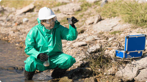
Capture geo-stamped field evidence with date, time, and location.

Capture on-site progress with photos, creating a trusted record for reporting.

Capture property photos stamped with verified location, date, and time.

Save your journeys with real-time location, weather, and map overlays.

Wherever you go, prove you were there with timestamp and location.
Provide tamper-proof photo evidence that supports accurate, transparent reporting.
Keep project photos that are geo-tagged and time-stamped with project name and note.
View latitude, longitude, altitude, accuracy, and full address directly on your camera screen before you snap.

Switch between Normal, Satellite, Terrain, and Hybrid map views to get the perfect context for your location.

Choose from a variety of layout templates suitable for construction sites, surveys, or travel diaries.
